
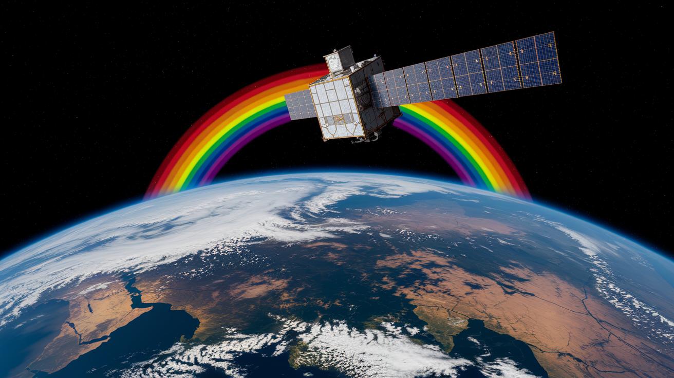
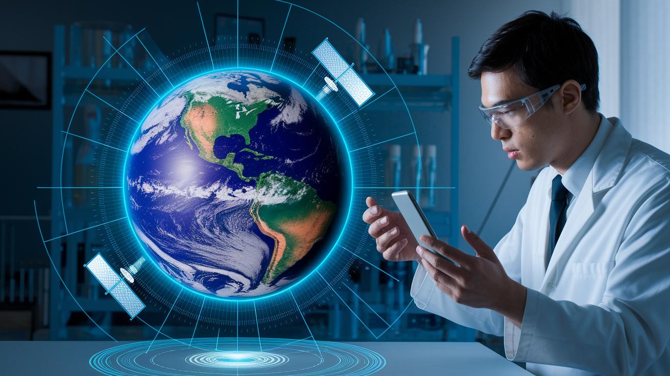
Have you ever wondered if satellites can really change the way we see Earth? New satellite tech is pushing the limits of what we can learn about our planet. With smart sensors (tiny devices that pick up details) and clever AI tools (computer programs that learn on their own), little satellites can now capture close-up images that help us understand climate challenges and respond quickly to disasters.
These modern tools bring sharper pictures and let us monitor our world as events happen. In fact, they offer a fresh way to track everything, from weather changes to emergency situations, in real time. Today, we'll take a closer look at how these breakthrough innovations are reshaping our view of Earth and giving us practical solutions for everyday problems.
Key Satellite Innovations Powering Earth Observation Advances
IBM Research is teaming up with NASA and ESA to change how we view our own world. They use advanced vision transformers and generative multimodal learning (methods that mix different kinds of data to create smarter images) to sort out the tricky problems of earth observation. This work is opening new doors for better climate tracking and faster responses to disasters everywhere.
New multispectral and hyperspectral sensors are making a big difference by catching detailed information through many light wavelengths. When these sensors work with strong AI tools, they give us the clear pictures needed to manage emergencies. And with smaller satellites like CubeSats making a comeback, costs are dropping while coverage expands. The TerraMesh dataset, one of the biggest open earth observation collections, speeds up how models learn, and the TerraMind system has already shown promising results at CVPR.
• small satellite proliferation
• AI integration
• high-resolution imaging
• onboard data processing
• open-access datasets
Models such as Prithvi-EO, designed for specific regions, have already helped improve flood detection in Kenya during the 2024 floods. This clearly shows how tailoring training to local needs brings real benefits. All these technological strides are powered by a strong spirit of teamwork among space research centers, constantly pushing our ability to watch over Earth. For more details on these exciting advances, check out recent technological advances.
Next-Generation Sensors and Imaging Technologies in Satellite Innovations
Today, satellites are like having a superpower in the sky. Advanced sensors, such as multispectral and hyperspectral imagers (cameras that capture many different colors), can record dozens or even hundreds of color bands. This gives us a much richer set of details about the Earth and helps satellites tell different surfaces apart with impressive accuracy.
Imagine a sensor that can spot tiny changes in plant health over a field, it’s almost like having a little microscope watching from high above. This capability makes it easier to keep track of changes in forests, water bodies, and urban areas.
Thermal infrared sensors now come with improvements that allow them to map surface temperatures very precisely, which is crucial when it comes to spotting wildfires early. In addition, ultraviolet instruments (tools that measure UV light) help monitor ozone and tiny particles in the air. With improved clarity down to the meter or even sub-meter scale and smart software algorithms, detecting unusual patterns has become much faster.
These sensor upgrades are really changing how we see and learn about our planet.
| Sensor Type | Spectral Band | Resolution | Primary Application |
|---|---|---|---|
| Advanced Multispectral Imager | 30-40 bands | Sub-meter to meter | Land cover analysis |
| Hyperspectral Imager | 100+ bands | Sub-meter | Material discrimination |
| Thermal Infrared Sensor | Thermal | Meter-scale | Wildfire detection |
| Ultraviolet Spectroscopy Instrument | UV bands | High sensitivity | Ozone and aerosol monitoring |
Miniaturization and Small Satellite Platforms in Earth Observation
The move toward smaller, budget-friendly satellites is really changing how we study our planet. Thanks to miniaturized parts and modern building techniques, engineers now design satellites that are both tiny and powerful. They even carry smart hardware that crunches data in space, which means fewer heavy downloads back to Earth and quicker answers when they're needed most.
CubeSats
CubeSats are small modules, roughly 10 by 10 by 10 centimeters in size, that come equipped with tools like multispectral imagers and onboard AI (smart computer systems that help interpret data). Their compact design cuts costs and makes testing new ideas fast and efficient. These satellites usually handle jobs like weather tracking, checking on crops, and mapping disasters, giving projects a quick and affordable way to gather important data.
SmallSats
SmallSats, on the other hand, weigh between 100 and 500 kilograms and can carry more advanced equipment while still keeping launch costs lower than traditional satellites. They are built for long missions and can mix different types of sensors, making them perfect for long-term environmental studies and detailed remote sensing (observing the Earth from far away). Their ability to host larger instruments means they can provide richer, more precise information about our world.
Advanced Onboard Data Processing and Artificial Intelligence Integration in Satellite Systems

Satellites now come equipped with smart processors that use new generative multimodal learning (a method that helps understand different types of data) along with clever neural compression methods (techniques to shrink data without losing key details). This upgrade lets satellites decide which pieces of data matter most and only send those essential insights back to Earth. Think of it like transforming a huge pile of data into a few useful measurements in just seconds, resulting in crisper images and quicker alerts.
Our onboard vision transformers (systems that help interpret images) now do an even better job spotting regular patterns and unusual events. They work hand-in-hand with tools like the TerraMind toolkit on low-power devices. This combination makes the system more nimble in making real-time decisions and blending different data sources, even when signal conditions change. Imagine a setup that automatically adjusts its sensitivity to keep things steady, even when interference shows up.
The Prithvi-EO satellite now uses a continuous pre-training framework, which helps it tune in perfectly to its space environment. Recent field tests, like watching rapid changes in wildfire conditions, show that its custom algorithms can adapt on the fly. These improvements make it clear that combining data from various sources can work smoothly, even under extreme conditions, providing both military and commercial users with reliable tools for managing events as they happen.
Impact of Satellite Innovations on Climate Monitoring and Disaster Management
Satellite improvements are changing the way we keep an eye on our planet. New methods, like deep inference (a fancy way to analyze lots of data quickly) and predictive modeling (using data to guess what might happen next) with open-access Sentinel data, can boost forecast accuracy by around 15%. This means community teams can respond faster when climate trends shift. Curious to know more about climate change? Check out this link: what is climate change.
Enhanced radar paired with improved lidar (a tool that uses light to measure distances) now picks up real-time changes in ice sheet behavior. This breakthrough gives scientists a sharper view of polar regions than ever before. It’s amazing how these clearer insights help experts understand the bigger picture of climate change in our coldest parts of the world.
Upgrades in thermal calibration now make it easier to spot early signs of wildfires and monitor flood zones during heavy rains. Better temperature mapping pinpoints hotspots before they grow, and detailed water analysis provides crucial data for protecting communities. These tools change raw data into clear, useful information when every second counts.
The Prithvi-EO model really proved its worth during Kenya’s 2024 flood by reducing disaster response times by 30%. In everyday terms, this system speeds up how quickly disasters are assessed, which can save lives and reduce damage. These real-life examples show that satellite innovations not only sharpen our view of climate trends but also help build stronger defenses against natural disasters.
Future Trends and Emerging Concepts in Earth Observation Satellite Innovations
A lot of fresh ideas are taking shape in earth observation. Open-source geospatial AI ecosystems (collections of tools shared openly under the Apache 2.0 license) now let scientists and engineers join forces and spark creative solutions without keeping ideas under wraps. And meanwhile, on-orbit quantum sensors teamed up with quantum speedup techniques are letting us measure gravity and magnetic fields with a precision that almost seems magical. Imagine devices that can notice the tiniest shifts in our planet's weight or magnetic pull, it's a change that could reshape how we spot natural resources and warn about environmental challenges.
Hybrid edge-cloud computing is also turning heads. This method processes huge amounts of data in two parts, first on the satellite itself, then fine-tuned in the cloud here on Earth, which means less waiting around for answers. Plus, future missions are planning to use multi-angle capturing and stereo imaging to give us real 3D views of the landscape. Together, these breakthroughs promise a new era in earth observation by mixing high-tech sensors, community teamwork, and smarter ways to manage data.
- Open-science frameworks
- On-orbit quantum sensors
- Quantum speedup techniques
- Hybrid edge-cloud processing
- Multi-angle stereo imaging
Final Words
In the action of exploring advanced sensors, onboard AI, miniaturized platforms, and data processing techniques, the article highlighted methods that help monitor our planet and guide timely responses to change.
We walked through improved imaging, targeted analysis, and smarter monitoring tools that make today’s science easier to grasp.
Satellite innovations: advancing earth observation breakthroughs pave the way for a brighter future full of practical benefits.
FAQ
What are some examples of space technology and how are they used in everyday life?
The examples of space technology include CubeSats, advanced sensors, and onboard AI systems. These devices support everyday services like weather monitoring, global navigation, and communication by capturing and processing Earth data in real time.
How do space technologies shape the future of Earth observation and climate intelligence?
Space technologies shape future Earth observation by integrating next-generation sensors with AI. These innovations boost climate intelligence with precise monitoring and rapid data analysis, ultimately improving weather and disaster response forecasts.
How are advancements in space exploration enhancing global Earth observation markets?
The advancements, including high-resolution imaging and onboard data processing, enhance global Earth observation markets by delivering timely, accurate environmental insights. This progress supports improved monitoring and management of natural resources worldwide.
How do new space technologies amplify the global value of Earth observation?
New space technologies amplify Earth observation’s value by combining miniaturized satellites, open-access datasets, and advanced sensors. This integration generates detailed climate information, beneficial for research and rapid disaster management strategies.
What technological advancements are driving progress in space exploration?
Technological progress in space exploration comes from innovations like AI-enabled sensors, miniaturized platforms, and onboard processing. These developments provide faster, more accurate data for scientific study and commercial applications, transforming how we study space.
