
Have you ever thought about how little pieces of data can change the way we see our planet? Today, smart techniques turn rows of satellite photos into easy-to-read maps that help with weather predictions, farming decisions, and disaster plans. Imagine each data point as a clue in a giant puzzle, coming together to show us a clearer picture of our changing world. In this article, we'll dive into how these new tools and clever mapping methods are reshaping the way scientists explore our Earth and tackle everyday challenges.
Transformative Geospatial Data Breakthroughs in Earth Science Research
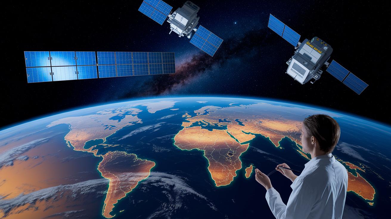
AlphaEarth Foundations is changing how we see our planet. They use an amazing dataset called the Satellite Embedding dataset on Google Earth Engine to create more than 1.4 trillion geospatial footprints every year. NASA satellites collect huge amounts of data too, from air conditions and land cover shifts to changes in ocean temperatures. This information helps with climate studies, wildfire management, farming plans, and even urban growth. And here’s something cool: before crunching billions of data points, researchers found that tiny patterns could predict big environmental changes. It’s a fresh, data-driven way to tackle old challenges.
Creative new methods in geo-data and big data earth analytics are opening up a brand-new chapter in studying our planet. Smart mapping techniques now sort through messy, overloaded data to deliver clear, high-resolution views of Earth. Many groups are jumping on board to refine their studies and guide better conservation efforts. By mixing loads of satellite images with strong analytical tools, scientists are reshaping Earth research. For example, projects worldwide use these techniques to improve weather forecasts and prepare for disasters. Check out data-driven discoveries fueling science breakthroughs to see how technology and research are teaming up to boost our understanding of the environment. Fresh insights like these promise a big impact for our future.
Geospatial AI Foundation Models Transforming Data Analysis
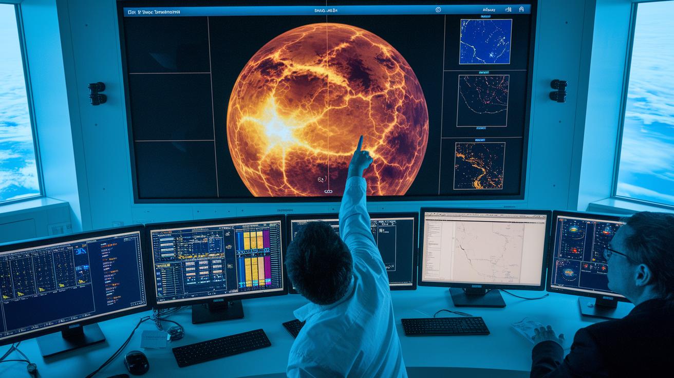
The RS-OWL-ViT-v2 model, working with the FLAME approach, is changing how we look at satellite images. It gives a big boost in detecting objects by doubling the usual accuracy. Imagine looking at a satellite picture and suddenly noticing something rare, that’s thanks to its smart spatial analysis methods. These techniques, built on innovative scientific methods, turn tricky data into clear, useful insights for Earth science.
Population Dynamics Foundations add another layer of power. They create steady data patterns across 17 countries with monthly updates. A cool example is how dengue fever estimates in Brazil jumped from an R² of 0.456 to 0.656 over a year. This shows that fresh algorithm designs and modern geoscience simulations can make predictions sharper and help improve public health and environmental checks. Simply put, these breakthrough tools are key to understanding our ever-changing planet.
Advanced Satellite Imagery Analysis and Remote Sensing Innovations

We started with the Satellite Embedding dataset and have now added some cool upgrades to how we study satellite images. Our new remote sensing methods use smarter AI tools that help us understand images in a clearer way.
Here are some of the updates:
- We now work with vision-language models (systems that link what an image shows with descriptive words).
- We use open-vocabulary object detection (techniques that can spot different objects without sticking to a fixed list).
- We rely on adaptable vision backbones (frameworks that change based on the picture’s unique features).
Another exciting boost comes from multispectral imaging. This method captures images using a variety of light wavelengths, even those beyond what we can see with our eyes. Because of this, we can notice tiny changes in the environment that regular imaging might miss. For example, a multispectral shot might show a slight change in plant color, revealing stress well before any obvious damage appears.
By mixing these new remote sensing techniques with our trusted dataset, we’re blending classic research with modern AI. This approach cuts down on repetitive work and arms scientists with precise tools. Now, they can easily track changes in the land, monitor shifts in resources, and produce detailed maps that mirror the ongoing changes in our environment.
Democratizing Geospatial Data Through AI-Powered Platforms
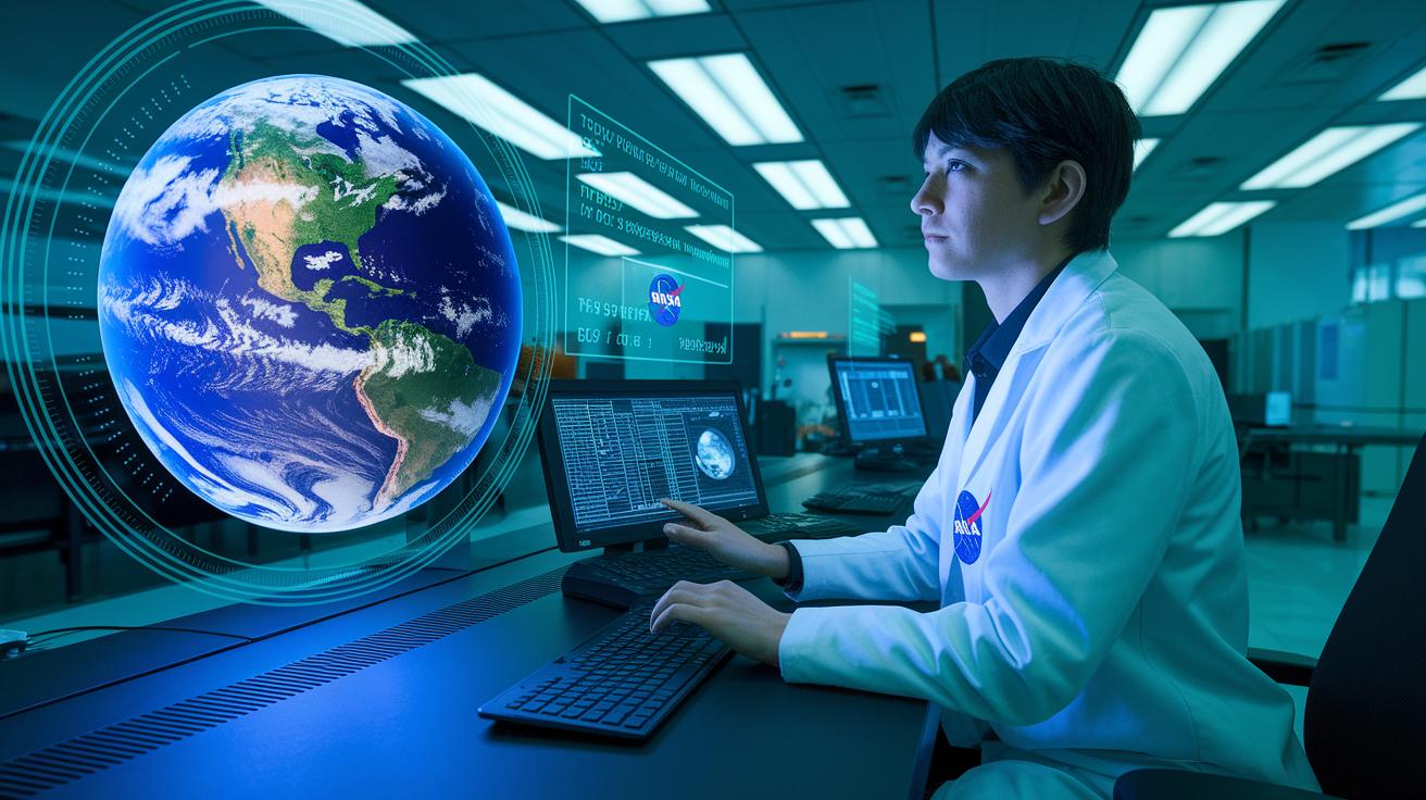
NASA's Earth Copilot, created with Microsoft Azure, now turns complicated Earth Science data into useful insights in seconds instead of hours or even days. Right now, NASA scientists are testing this tool while working to connect it to the VEDA system (a setup to handle Earth data) after checking that the AI is used responsibly. Experts in climate and agriculture can spend less time waiting for data and more time acting on it. Fun fact: when NASA first used Earth Copilot, data processing went from taking days to just seconds, letting teams quickly respond to changing weather or land conditions.
Earth Copilot also makes it easier for more people to tap into detailed geospatial data. Its cloud-based analytics and smart platform design help remove old barriers that once kept advanced Earth Science tools locked away for only a few specialists. By supporting open source mapping suites, it transforms hard-to-read space data into everyday information for environmental studies and resource management. This new access means scientists, local governments, and community experts can work together to watch for climate shifts and improve farming, ensuring that vital geospatial knowledge is available to everyone who needs it.
Case Studies: Real-World Applications of Geospatial Breakthroughs
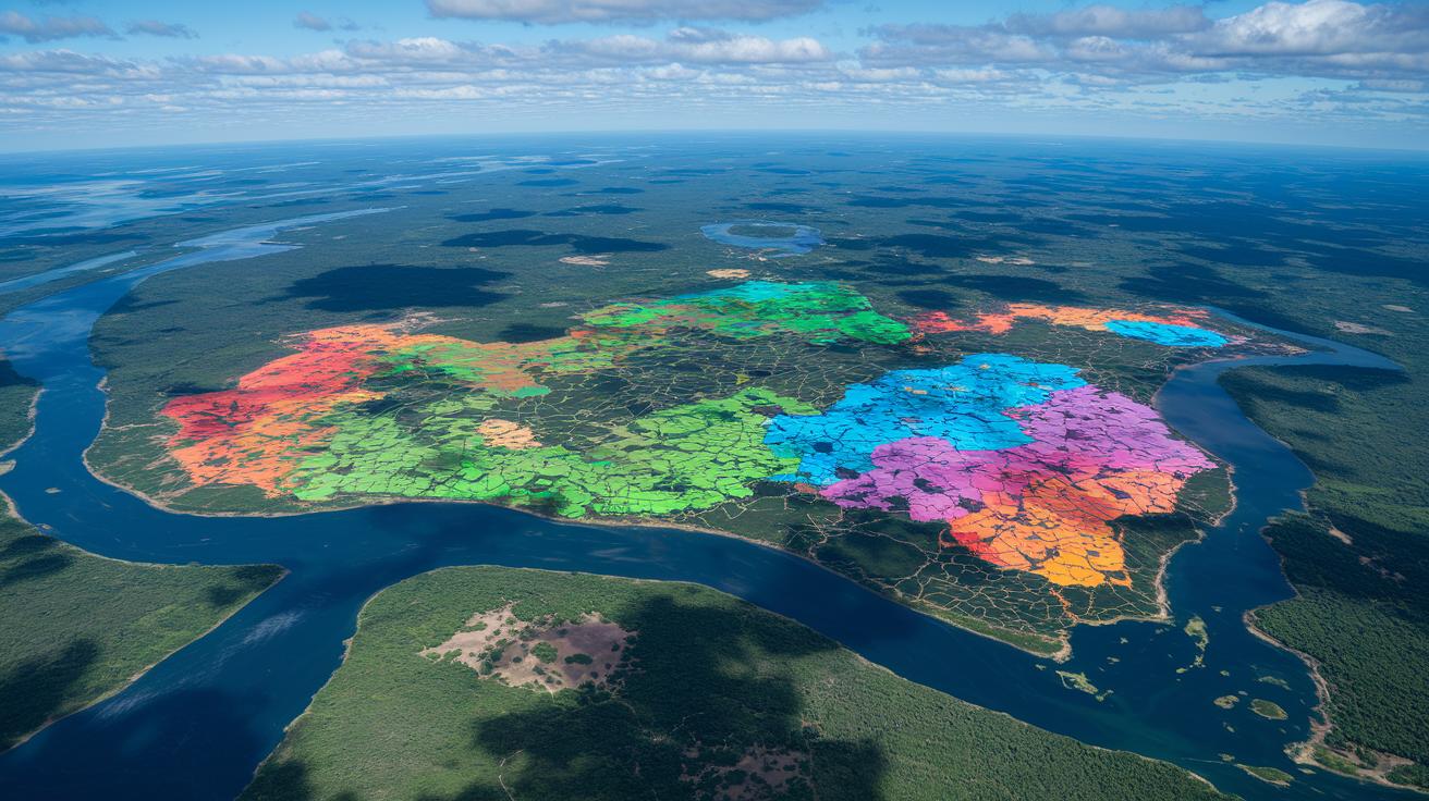
Amazon Ecosystem Monitoring with MapBiomas
MapBiomas uses special satellite data to watch over the Amazon’s farms and wild areas. They keep track of how the land is used and how plants change over time, helping local teams protect nature and plan for the future. Imagine flying over the rainforest and noticing even the slightest shift in the greenery, that’s how quick these updates are.
Disease Forecasting with Enhanced Geospatial Data
Population Dynamics Foundations stepped up their game in predicting diseases by creating monthly global reports across 17 countries. Their model’s accuracy jumped from about 45% to 66% in just a year, giving health teams the clear, updated data they need to spot dengue fever risks early. Think of it like a calendar that refreshes itself every month, guiding public health decisions before outbreaks go out of control.
Flood and Weather Nowcasts Driven by Sensor Data
New environmental models now mix climate maps with data from sensors to offer near real-time updates on floods and rain. This method makes medium-range weather forecasts more reliable and sharpens details on monsoon starts, while also sending out early air quality alerts to communities at risk. Picture an app that instantly pings you about heavy rain, giving everyone a little extra time to prepare.
Integrative Geospatial Reasoning and Future Research Models

The Gemini-powered Geospatial Reasoning agent deciphers everyday questions and sends off expert sub-teams using different Earth AI models. It creates clear, detailed risk maps and finds important infrastructure with a precision that traditional methods just can’t match. Think about it like this: a single system quickly mixes weather reports, land use data, and information on human activity to show you where a community might be hit hardest in a storm.
This smart approach marks a shift toward research methods that are both transformative and automated. By blending data from various observation tools, we’re now solving old problems with new speed and accuracy. When researchers link multiple data streams and expert models, they build a future where automated processing gives us deep insights that used to be out of reach. This paves the way for more flexible and smarter environmental decisions.
Final Words
In the action of exploring advanced geospatial data breakthroughs: transforming Earth science research, we’ve seen powerful satellite imagery, smart remote sensing, and AI tools bring clarity to Earth science. The blog walked through how data informs environmental monitoring, shapes disease forecasting, and refines predictive models for everyday challenges.
Each piece of innovation helps simplify complex science for real-world impact. With accessible insights driving progress, scientists and curious minds alike can watch as our understanding of the planet continues to grow brighter.
FAQ
Q: What do geospatial data breakthroughs transforming earth science research pdf, 2021, and 2022 show?
A: The geospatial data breakthroughs show how advanced satellite images and AI models are used to offer clear insights into Earth’s changes, addressing data overload and environmental challenges.
Q: What is Google Earth ai download?
A: The Google Earth AI download gives users the chance to access tools that blend visual models with language processing to enhance satellite image searches and object detection.
Q: What is Earth Science data?
A: Earth Science data refers to measurements collected by satellites and sensors on our atmosphere, land, and oceans, helping researchers study climate trends, urban shifts, and natural processes.
Q: How can I use Earth data explorer?
A: The Earth data explorer offers an interactive platform that allows users to find, view, and analyze large geospatial datasets, supporting research and decision-making on environmental changes.
Q: What is NASA Earth online?
A: NASA Earth online is a portal that provides live satellite imagery and data, making it easier for both scientists and the public to track environmental and atmospheric trends.
Q: What are Geospatial AI projects?
A: Geospatial AI projects use smart algorithms and big datasets to improve remote sensing and data analysis, leading to better forecasts for climate, disaster management, and environmental monitoring.